Home > Puerto Rico > Luquillo > El Yunque
El Yunque National Park

- Go to About El Yunque
- Go to Directions to El Yunque
- Go to Pictures of El Yunque
- Go to Additional links dedicated to El Yunque
Information about El Yunque
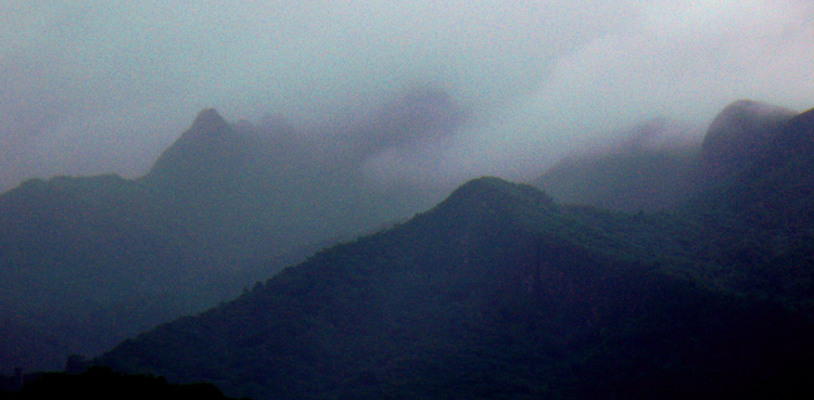
El Yunque National Forest, formerly known as the Caribbean National Forest, is located on the island of Puerto Rico. It is commonly known as only El Yunque, a Spanish approximation of the aboriginal Taino word "Yu-ke" thought by scholars to mean "White Lands". However the lightning storms that occur there were to the Spaniards the sound of a giant hammer hitting an anvil (yunque in Spanish). It is also the name of the second highest mountain peak in the Forest. El Yunque is the only tropical rain forest in the United States National Forest System. The forest is located on the slopes of the Sierra de Luquillo Mountains in Puerto Rico, and encompasses 28,002 acres (43.753 sq mi) of land, making it the largest block of public land on the island of Puerto Rico. El Toro, the highest mountain peak in the forest rises 1,078 metres (3,537 ft) above sea level. In descending order of land area the forest is located in the municipalities of Río Grande, Naguabo, Luquillo, Ceiba, Canóvanas, Las Piedras, Fajardo, and Juncos. Forest headquarters are located in Río Grande. The forest region was initially set aside in 1876 by the King Alfonso XII of Spain, and represents one of the oldest reserves in the Western Hemisphere. It was established as the Loquillo Forest Reserve on January 17, 1903 by the General Land Office with 65,950 acres, and became a National Forest in 1906. It was renamed Caribbean National Forest on June 4, 1935. It is home to over 200 species of trees and plants, 23 of which are found nowhere else. The critically endangered Puerto Rican Amazon (Amazona vittata), with an estimated wild population of 30 individuals, occurs exclusively in this forest until 2006, when another wild population was released in the Rio Abajo Sate Forest in the municipality of Utuado, by the Department of Natural Resources on November 19th, 2006. Typical yearly rainfall can be up to 240 inches per year which constitutes more than 100 billion US gallons fall on the forest per year. El Yunque is composed of four different forest vegetation areas: Tabonuco Forest, Palo Colorado Forest, Sierra Palm Forest, and Dwarf Forest. El Yunque is also renowned for its unique Taino petroglyphs. An Executive Order signed by President George W. Bush on April 2, 2007, renamed the Caribbean National Forest as the El Yunque National Forest, to better reflect the cultural and historical feelings of the Puerto Rican people.
Directions to El Yunque
Click on image below for driving directions from Luis Munoz Marin International Airport in San Juan to El Yunque

Pictures of El Yunque


Additional links dedicated to El Yunque